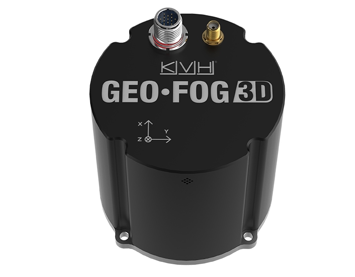
GEO • FOG ™ 3D INS používá senzory k zajištění spolehlivé, vysoce přesné navigace a řízení pro širokou škálu bezpilotních, autonomních i řízených leteckých, pozemních, námořních a podpovrchových námořních aplikací a platforem. Inertiální navigační systém KVH GEO • FOG 3D (INS) je postaven na výkonném inerciálním měřícím přístroji 1750 inerciální měřicí jednotky (IMU) společnosti Fiber Optic Gyro (FOG). Pokročilá jednotka obsahuje tři KVH DSP-1750 gyros - nejmenší vysoce výkonný FOG na světě - integrovaný se třemi akcelerometry MEMS s velmi nízkou hlučností. GEO • FOG 3D INS je integrací IMU 1750 s tlakovým senzorem, 3-osovým magnetometrem a přijímačem RTK GNSS s duální anténou.
High Accuracy, Intelligent Inertial Performance
Designed for demanding navigation and control applications, the GEO•FOG 3D INS has performance monitoring and instability protections to ensure stable and reliable data. Utilizing an innovative sensor fusion algorithm, its high performance filter is more intelligent than the typical Kalman filter used in many inertial solutions. The GEO•FOG 3D is capable of extracting significantly more information from the 1750 IMU core processor by using a cutting-edge artificial intelligence algorithm.
Designed for Mission Critical Control Applications
The rugged KVH GEO•FOG 3D INS is designed and tested to ensure that the hardware is both secure and reliable. It is protected from reverse polarity, overvoltage, surges, static and short circuits on all external surfaces. The embedded GNSS includes Receiver Autonomous Integrity Monitoring (RAIM) to assess the integrity of satellite signals. The system also contains a backup MEMS IMU providing seamless inertial data collection for redundancy and backup purposes.
Embedded RTK GNSS Receiver
The KVH GEO•FOG 3D contains a triple frequency GNSS receiver providing 8 mm positioning accuracy. It supports all of the current and future satellite navigation systems including GPS, GLONASS, GALILEO, and BeiDou. It also offers data rates up to 1000 Hz, and data can be output over a high-speed RS-422 interface or RS-232 interface.
Integrated North-seeking Gyrocompass
In addition to providing GNSS positioning backed with highly accurate inertial data, the GEO•FOG 3D features a north-seeking algorithm. This provides accurate heading as fast as 10 seconds after power-on from a hot start, and 10 minutes from a cold start. The north-seeking algorithm runs continuously while the INS is operating, and is unaffected by velocity or angular motion. This means the GEO•FOG 3D provides high accuracy heading in environments in which magnetometers and GPS-heading cannot be used.
Key Features
• Core processor: KVH 1750 IMU
• DoF IMU consisting of integrated FOGs and accelerometers
• Triple frequency Trimble® GNSS receiver
• Cutting-edge sensor fusion algorithm delivering accurate, reliable data for navigation, orientation, and control
• North-seeking gyrocompass
• Attitude and Heading Reference System (AHRS)
Applications
• Navigation and control
• Unmanned systems
• Autonomous systems
• Manned systems
• AHRS
• Positioning and imaging
• Georeferencing
• Land surveying
• Robotics
• Underground navigation
• Stabilization and orientation
GEO•FOG 3D INS
Fiber Optic Gyro (FOG)-based Inertial Navigation System
